
Noordwolde topographic map
Interactive map
Click on the map to display elevation.
About this map
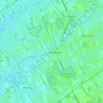
Name: Noordwolde topographic map, elevation, terrain.
Location: Noordwolde, Weststellingwerf, Friesland, Nederland (52.86348 6.10325 52.91951 6.19068)
Average elevation: 13 ft
Minimum elevation: -3 ft
Maximum elevation: 26 ft