
Hollandsche Rading topographic map
Interactive map
Click on the map to display elevation.
About this map
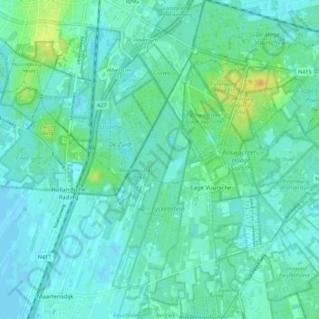
Name: Hollandsche Rading topographic map, elevation, terrain.
Location: Hollandsche Rading, De Bilt, Utrecht, Nederland (52.16510 5.11529 52.20427 5.21630)
Average elevation: 20 ft
Minimum elevation: -7 ft
Maximum elevation: 89 ft