
Egmond aan Zee topographic map
Interactive map
Click on the map to display elevation.
About this map
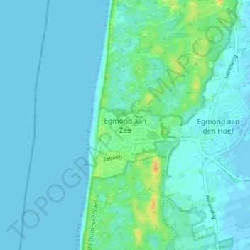
Name: Egmond aan Zee topographic map, elevation, terrain.
Location: Egmond aan Zee, Noord-Holland, Nederland, 1931, Nederland (52.60134 4.60804 52.64134 4.64804)
Average elevation: 16 ft
Minimum elevation: -10 ft
Maximum elevation: 102 ft