
Jardim da Serra topographic map
Interactive map
Click on the map to display elevation.
About this map
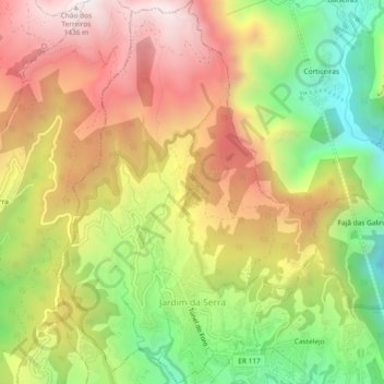
Name: Jardim da Serra topographic map, elevation, terrain.
Location: Jardim da Serra, Câmara de Lobos, Madeira, Portugal (32.67703 -17.00580 32.71608 -16.97424)
Average elevation: 2,838 ft
Minimum elevation: 912 ft
Maximum elevation: 4,675 ft