
Boelenslaan topographic map
Interactive map
Click on the map to display elevation.
About this map
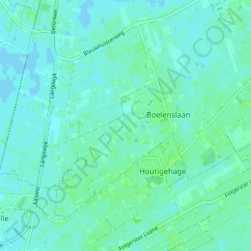
Name: Boelenslaan topographic map, elevation, terrain.
Average elevation: 10 ft
Minimum elevation: -3 ft
Maximum elevation: 26 ft
Other topographic maps
Click on a map to view its topography, its elevation and its terrain.
Buitenpost
The Netherlands > Friesland > Achtkarspelen
Buitenpost, Achtkarspelen, Friesland, Netherlands, The Netherlands
Average elevation: 3 ft