
Begijnendijk topographic map
Interactive map
Click on the map to display elevation.
About this map
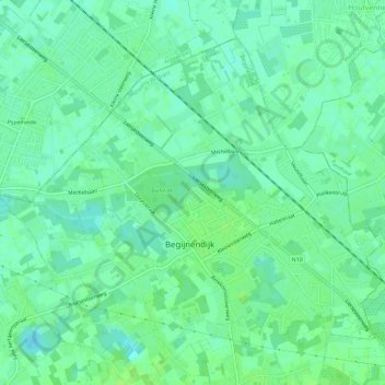
Name: Begijnendijk topographic map, elevation, terrain.
Location: Begijnendijk, Leuven, Vlaams-Brabant, België (51.00943 4.75306 51.03898 4.81124)
Average elevation: 39 ft
Minimum elevation: 20 ft
Maximum elevation: 59 ft
Other topographic maps
Click on a map to view its topography, its elevation and its terrain.
Betekom
België > Vlaams-Brabant > Leuven > Begijnendijk
Betekom, Begijnendijk, Leuven, Vlaams-Brabant, Vlaanderen, 3130, België
Average elevation: 49 ft