
Nijlen topographic map
Interactive map
Click on the map to display elevation.
About this map
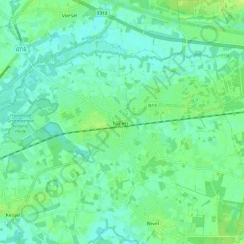
Name: Nijlen topographic map, elevation, terrain.
Location: Nijlen, Mechelen, Antwerpen, Vlaanderen, 2560, België (51.14111 4.62495 51.18108 4.72026)
Average elevation: 23 ft
Minimum elevation: 3 ft
Maximum elevation: 46 ft
Other topographic maps
Click on a map to view its topography, its elevation and its terrain.