
Harbour Island topographic map
Interactive map
Click on the map to display elevation.
About this map
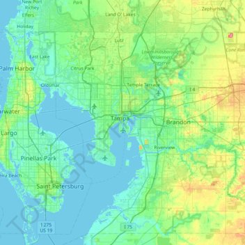
Name: Harbour Island topographic map, elevation, terrain.
Average elevation: 49 ft
Minimum elevation: -7 ft
Maximum elevation: 259 ft
Other topographic maps
Click on a map to view its topography, its elevation and its terrain.
Alexander
United States > Florida > Tampa
Alexander, Tampa, Hillsborough County, Florida, United States
Average elevation: 43 ft