
Lomako topographic map
Interactive map
Click on the map to display elevation.
About this map
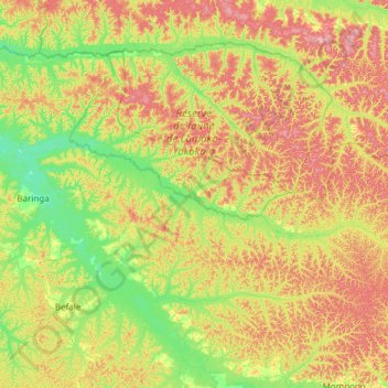
Name: Lomako topographic map, elevation, terrain.
Location: Lomako, Tshuapa, DR Congo (0.57352 20.69607 0.91051 21.90124)
Average elevation: 1,263 ft
Minimum elevation: 1,089 ft
Maximum elevation: 1,575 ft