
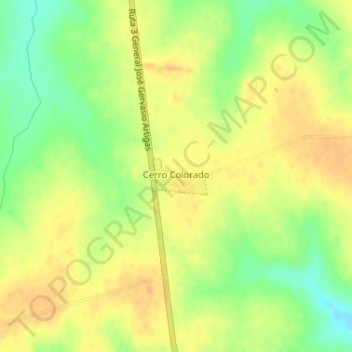
Cerro Colorado topographic map
Interactive map
Click on the map to display elevation.
About this map
Name: Cerro Colorado topographic map, elevation, terrain.
Location: Cerro Colorado, Flores, 85000, Uruguay (-33.72743 -56.80148 -33.72461 -56.79631)
Average elevation: 505 ft
Minimum elevation: 440 ft
Maximum elevation: 545 ft