
Göynükbelen topographic map
Interactive map
Click on the map to display elevation.
About this map
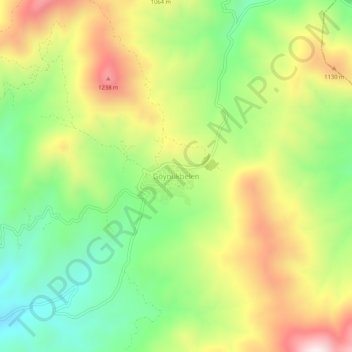
Name: Göynükbelen topographic map, elevation, terrain.
Location: Göynükbelen, Orhaneli, Bursa, Marmara Region, Turkey (39.97005 29.02756 40.01005 29.06756)
Average elevation: 3,199 ft
Minimum elevation: 2,300 ft
Maximum elevation: 4,354 ft