
Cox Mill topographic map
Interactive map
Click on the map to display elevation.
About this map
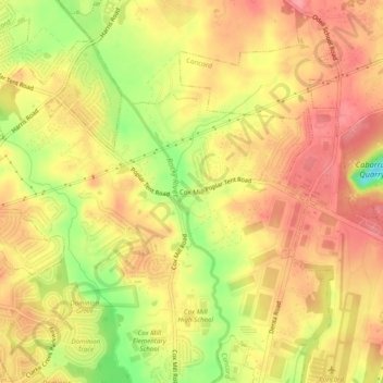
Name: Cox Mill topographic map, elevation, terrain.
Location: Cox Mill, Cabarrus County, North Carolina, 28027:28075, USA (35.38847 -80.74813 35.42847 -80.70813)
Average elevation: 669 ft
Minimum elevation: 479 ft
Maximum elevation: 774 ft