
State College topographic map
Interactive map
Click on the map to display elevation.
About this map
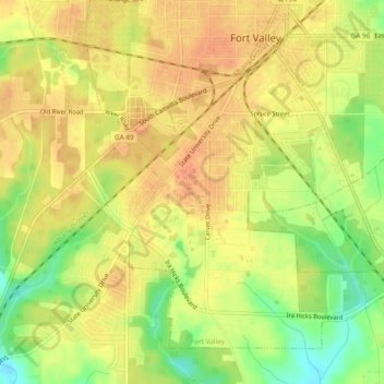
Name: State College topographic map, elevation, terrain.
Location: State College, Peach County, Georgia, 31030, USA (32.51765 -83.91519 32.55765 -83.87519)
Average elevation: 505 ft
Minimum elevation: 417 ft
Maximum elevation: 548 ft