
Wehr topographic map
Interactive map
Click on the map to display elevation.
About this map
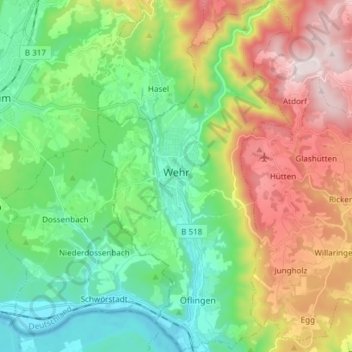
Name: Wehr topographic map, elevation, terrain.
Location: Wehr, Landkreis Waldshut, Baden-Württemberg, 79664, Germany (47.57694 7.87120 47.67796 7.95404)
Average elevation: 1,808 ft
Minimum elevation: 909 ft
Maximum elevation: 3,425 ft