
Hassi R'Mel topographic map
Interactive map
Click on the map to display elevation.
About this map
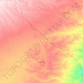
Name: Hassi R'Mel topographic map, elevation, terrain.
Location: Hassi R'Mel, Hassi R'Mel District, Laghouat, Algeria (32.81430 2.85513 33.46605 3.80112)
Average elevation: 2,480 ft
Minimum elevation: 1,772 ft
Maximum elevation: 2,969 ft