
Trà Cú District topographic map
Interactive map
Click on the map to display elevation.
About this map
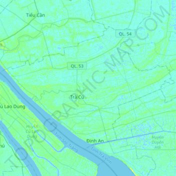
Name: Trà Cú District topographic map, elevation, terrain.
Location: Trà Cú District, Tra Vinh province, Vietnam (9.60246 106.13293 9.79882 106.41723)
Average elevation: 7 ft
Minimum elevation: -13 ft
Maximum elevation: 36 ft