
Halenbeck-Rohlsdorf topographic map
Interactive map
Click on the map to display elevation.
About this map
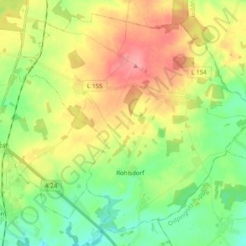
Name: Halenbeck-Rohlsdorf topographic map, elevation, terrain.
Location: Halenbeck-Rohlsdorf, Meyenburg, Prignitz, Brandenburg, Germany (53.20110 12.21908 53.27429 12.35586)
Average elevation: 354 ft
Minimum elevation: 240 ft
Maximum elevation: 505 ft