
Raglan topographic map
Interactive map
Click on the map to display elevation.
About this map
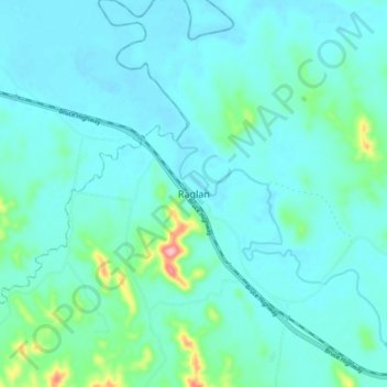
Name: Raglan topographic map, elevation, terrain.
Location: Raglan, Queensland, Australia (-23.75718 150.78003 -23.67718 150.86003)
Average elevation: 79 ft
Minimum elevation: 0 ft
Maximum elevation: 548 ft