
Dunkelsdorf topographic map
Interactive map
Click on the map to display elevation.
About this map
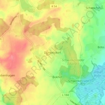
Name: Dunkelsdorf topographic map, elevation, terrain.
Location: Dunkelsdorf, Ostholstein, Schleswig-Holstein, 23623, Germany (53.95794 10.57927 53.99794 10.61927)
Average elevation: 154 ft
Minimum elevation: 36 ft
Maximum elevation: 262 ft