
Boumia topographic map
Interactive map
Click on the map to display elevation.
About this map
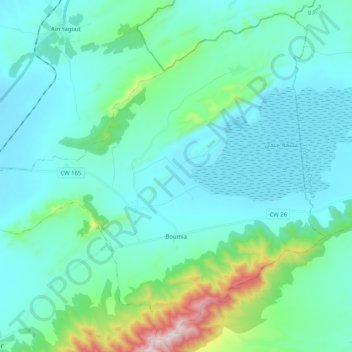
Name: Boumia topographic map, elevation, terrain.
Location: Boumia, Daïra El Madher, Batna, Algérie (35.62880 6.36434 35.78336 6.56966)
Average elevation: 3,127 ft
Minimum elevation: 2,710 ft
Maximum elevation: 5,456 ft