
Akagera topographic map
Interactive map
Click on the map to display elevation.
About this map
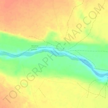
Name: Akagera topographic map, elevation, terrain.
Location: Akagera, Bukoba, Kagera, Lake Zone, Tanzania (-1.02271 30.87718 -1.02205 30.87822)
Average elevation: 3,999 ft
Minimum elevation: 3,901 ft
Maximum elevation: 4,052 ft
Other topographic maps
Click on a map to view its topography, its elevation and its terrain.