
Stadland topographic map
Interactive map
Click on the map to display elevation.
About this map
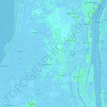
Name: Stadland topographic map, elevation, terrain.
Location: Stadland, Landkreis Wesermarsch, Lower Saxony, Germany (53.36283 8.30602 53.50032 8.50038)
Average elevation: 0 ft
Minimum elevation: -23 ft
Maximum elevation: 23 ft