
Roselle topographic map
Interactive map
Click on the map to display elevation.
About this map
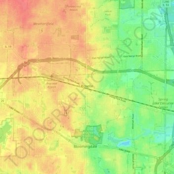
Name: Roselle topographic map, elevation, terrain.
Location: Roselle, DuPage County, Illinois, 60172, USA (41.94475 -88.11979 42.02475 -88.03979)
Average elevation: 771 ft
Minimum elevation: 669 ft
Maximum elevation: 850 ft