
Jawhar topographic map
Interactive map
Click on the map to display elevation.
About this map
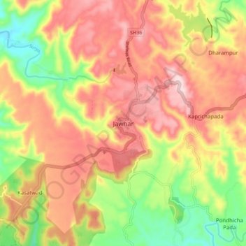
Name: Jawhar topographic map, elevation, terrain.
Location: Jawhar, Palghar, Maharashtra, India (19.87248 73.18516 19.95248 73.26516)
Average elevation: 1,237 ft
Minimum elevation: 689 ft
Maximum elevation: 1,686 ft