
Maynas topographic map
Interactive map
Click on the map to display elevation.
About this map
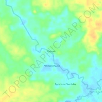
Name: Maynas topographic map, elevation, terrain.
Location: Maynas, Province of Maynas, Loreto, Peru (-3.50294 -73.46458 -3.46294 -73.42458)
Average elevation: 328 ft
Minimum elevation: 289 ft
Maximum elevation: 381 ft