
Altstadt topographic map
Interactive map
Click on the map to display elevation.
About this map
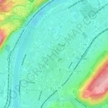
Name: Altstadt topographic map, elevation, terrain.
Average elevation: 502 ft
Minimum elevation: 377 ft
Maximum elevation: 889 ft
Other topographic maps
Click on a map to view its topography, its elevation and its terrain.
Trier
Germany > Rhineland-Palatinate > Trier
Trier, Rhineland-Palatinate, 54290, Germany
Average elevation: 1,030 ft