
Irango topographic map
Interactive map
Click on the map to display elevation.
About this map
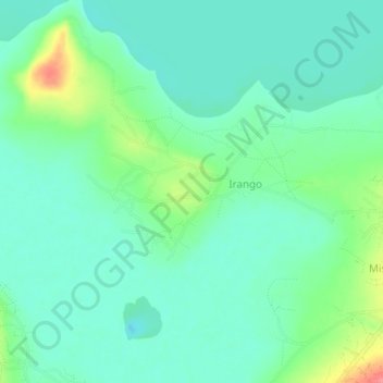
Name: Irango topographic map, elevation, terrain.
Location: Irango, Bukoba, Kagera, Lake Zone, Tanzania (-1.52729 31.52903 -1.48729 31.56903)
Average elevation: 3,819 ft
Minimum elevation: 3,750 ft
Maximum elevation: 4,009 ft