
Richmond Hill topographic map
Interactive map
Click on the map to display elevation.
About this map
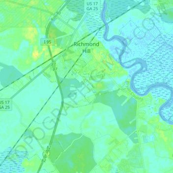
Name: Richmond Hill topographic map, elevation, terrain.
Location: Richmond Hill, Bryan County, Georgia, United States (31.85068 -81.36412 31.97135 -81.25731)
Average elevation: 16 ft
Minimum elevation: -13 ft
Maximum elevation: 79 ft
Other topographic maps
Click on a map to view its topography, its elevation and its terrain.
Keller
United States > Georgia > Bryan County
Keller, Bryan County, Georgia, United States
Average elevation: 16 ft
Belle Isle
United States > Georgia > Bryan County
Belle Isle, Bryan County, Georgia, United States
Average elevation: 13 ft
Pembroke
United States > Georgia > Bryan County > Pembroke
Pembroke, Bryan County, Georgia, United States
Average elevation: 85 ft
Blitchton
United States > Georgia > Bryan County > Blitchton
Blitchton, Bryan County, Georgia, 31308, United States
Average elevation: 69 ft
Ellabell
United States > Georgia > Bryan County > Ellabell
Ellabell, Bryan County, Georgia, United States
Average elevation: 69 ft