
San Rafael topographic map
Interactive map
Click on the map to display elevation.
About this map
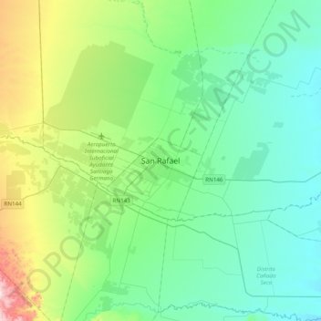
Name: San Rafael topographic map, elevation, terrain.
Average elevation: 2,300 ft
Minimum elevation: 1,847 ft
Maximum elevation: 3,927 ft
Other topographic maps
Click on a map to view its topography, its elevation and its terrain.
San Rafael
Argentina > Mendoza > Distrito Ciudad de San Rafael > San Rafael
San Rafael, Distrito Ciudad de San Rafael, Departamento San Rafael, Mendoza, Argentina
Average elevation: 2,264 ft