
Manzanita topographic map
Interactive map
Click on the map to display elevation.
About this map
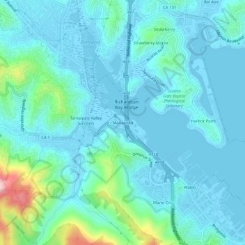
Name: Manzanita topographic map, elevation, terrain.
Location: Manzanita, Marin County, California, 94941, USA (37.86159 -122.53747 37.90159 -122.49747)
Average elevation: 118 ft
Minimum elevation: -13 ft
Maximum elevation: 791 ft