
Harrods Creek topographic map
Interactive map
Click on the map to display elevation.
About this map
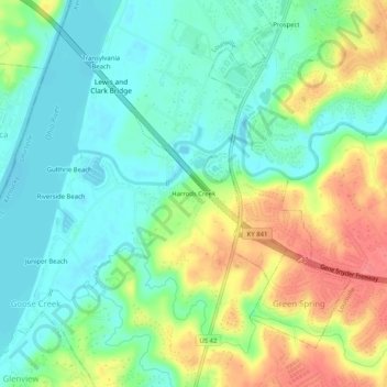
Name: Harrods Creek topographic map, elevation, terrain.
Location: Harrods Creek, Jefferson County, Kentucky, 40059, USA (38.30757 -85.64774 38.34757 -85.60774)
Average elevation: 505 ft
Minimum elevation: 423 ft
Maximum elevation: 643 ft