
Solre-sur-Sambre topographic map
Interactive map
Click on the map to display elevation.
About this map
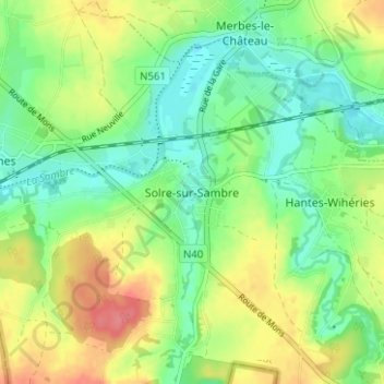
Name: Solre-sur-Sambre topographic map, elevation, terrain.
Location: Solre-sur-Sambre, Thuin, Henegouwen, Wallonië, 6560, België (50.28677 4.13583 50.32677 4.17583)
Average elevation: 469 ft
Minimum elevation: 381 ft
Maximum elevation: 600 ft