
Beaverhead Ranger Station topographic map
Interactive map
Click on the map to display elevation.
About this map
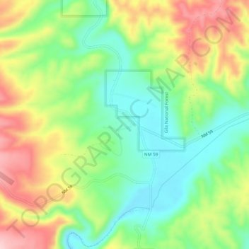
Name: Beaverhead Ranger Station topographic map, elevation, terrain.
Location: Beaverhead Ranger Station, Catron County, New Mexico, USA (33.40414 -108.13248 33.44414 -108.09248)
Average elevation: 6,946 ft
Minimum elevation: 6,663 ft
Maximum elevation: 7,339 ft