
Esenyurt topographic map
Interactive map
Click on the map to display elevation.
About this map
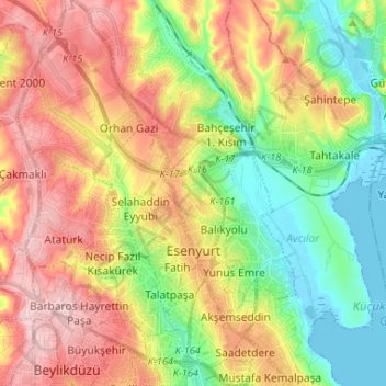
Name: Esenyurt topographic map, elevation, terrain.
Location: Esenyurt, Istanbul, Marmara Region, Turkey (40.99970 28.62054 41.09811 28.70190)
Average elevation: 312 ft
Minimum elevation: -16 ft
Maximum elevation: 669 ft
Other topographic maps
Click on a map to view its topography, its elevation and its terrain.