
KOMA-AM (Oklahoma City) topographic map
Interactive map
Click on the map to display elevation.
About this map
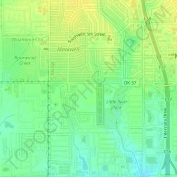
Name: KOMA-AM (Oklahoma City) topographic map, elevation, terrain.
Average elevation: 1,230 ft
Minimum elevation: 1,191 ft
Maximum elevation: 1,263 ft