
Appleton City topographic map
Interactive map
Click on the map to display elevation.
About this map
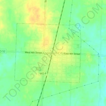
Name: Appleton City topographic map, elevation, terrain.
Location: Appleton City, St. Clair County, Missouri, United States (38.18298 -94.04189 38.19810 -94.02032)
Average elevation: 853 ft
Minimum elevation: 810 ft
Maximum elevation: 896 ft
Other topographic maps
Click on a map to view its topography, its elevation and its terrain.
Osceola
United States > Missouri > St. Clair County
Osceola, St. Clair County, Missouri, 64776, United States
Average elevation: 781 ft