
Kingsland Bay topographic map
Interactive map
Click on the map to display elevation.
About this map
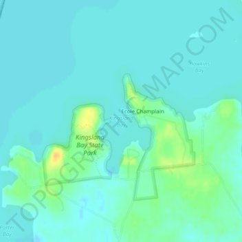
Name: Kingsland Bay topographic map, elevation, terrain.
Average elevation: 105 ft
Minimum elevation: 85 ft
Maximum elevation: 180 ft
Other topographic maps
Click on a map to view its topography, its elevation and its terrain.
Button Bay
USA > Vermont > Ferrisburg
Button Bay, Button Bay State Park, Ferrisburg, Addison County, Vermont, USA
Average elevation: 118 ft