
Canyon Entrance Park topographic map
Interactive map
Click on the map to display elevation.
About this map
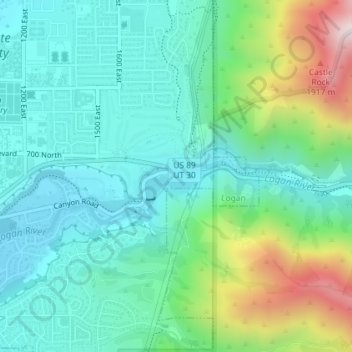
Name: Canyon Entrance Park topographic map, elevation, terrain.
Location: Canyon Entrance Park, Logan, Cache County, Utah, USA (41.74230 -111.79165 41.74297 -111.78599)
Average elevation: 5,180 ft
Minimum elevation: 4,590 ft
Maximum elevation: 6,896 ft