
Ivindo topographic map
Interactive map
Click on the map to display elevation.
About this map
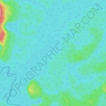
Name: Ivindo topographic map, elevation, terrain.
Location: Ivindo, Souanké, Sangha, Republic of the Congo (1.39037 13.25160 1.44444 13.29502)
Average elevation: 1,604 ft
Minimum elevation: 1,558 ft
Maximum elevation: 1,847 ft