
Maysville topographic map
Interactive map
Click on the map to display elevation.
About this map
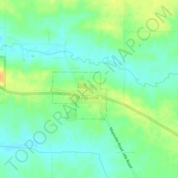
Name: Maysville topographic map, elevation, terrain.
Location: Maysville, Scott County, Iowa, USA (41.64530 -90.72446 41.65423 -90.71313)
Average elevation: 712 ft
Minimum elevation: 673 ft
Maximum elevation: 774 ft