
Pinnacle Peak topographic map
Interactive map
Click on the map to display elevation.
About this map
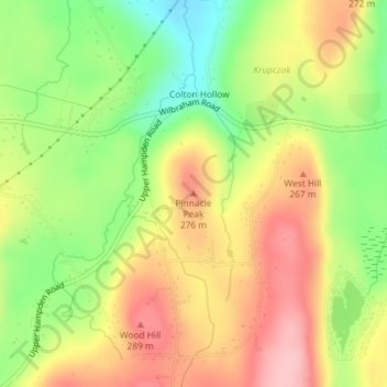
Name: Pinnacle Peak topographic map, elevation, terrain.
Location: Pinnacle Peak, Monson, Hampden, Massachusetts, 01057, USA (42.10282 -72.35430 42.10292 -72.35420)
Average elevation: 755 ft
Minimum elevation: 486 ft
Maximum elevation: 1,004 ft