
Waimanu topographic map
Interactive map
Click on the map to display elevation.
About this map
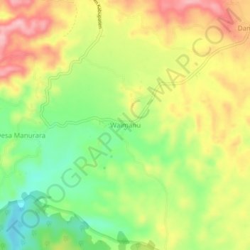
Name: Waimanu topographic map, elevation, terrain.
Location: Waimanu, Katiku Tana, East Nusa Tenggara, Indonesia (-9.67142 119.50304 -9.63142 119.54304)
Average elevation: 1,332 ft
Minimum elevation: 1,079 ft
Maximum elevation: 1,591 ft