
McCook Lake topographic map
Interactive map
Click on the map to display elevation.
About this map
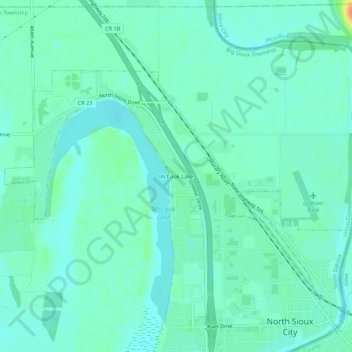
Name: McCook Lake topographic map, elevation, terrain.
Location: McCook Lake, Union County, South Dakota, 57049, USA (42.52177 -96.52482 42.56177 -96.48482)
Average elevation: 1,106 ft
Minimum elevation: 1,073 ft
Maximum elevation: 1,214 ft