
Plains Conservation Center topographic map
Interactive map
Click on the map to display elevation.
About this map
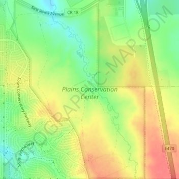
Name: Plains Conservation Center topographic map, elevation, terrain.
Average elevation: 5,715 ft
Minimum elevation: 5,617 ft
Maximum elevation: 5,804 ft
Other topographic maps
Click on a map to view its topography, its elevation and its terrain.
Aurora Reservoir
Aurora Reservoir, Aurora Reservoir Perimeter Trail, Aurora, Arapahoe County, Colorado, 90124, USA
Average elevation: 5,945 ft