
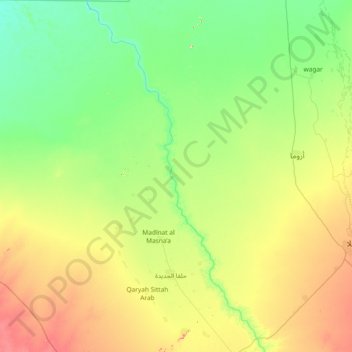
Nahr Atbara topographic map
Interactive map
Click on the map to display elevation.
About this map
Name: Nahr Atbara topographic map, elevation, terrain.
Location: Nahr Atbara, Kassala, Sudan (15.00865 35.16034 16.43398 36.25422)
Average elevation: 1,460 ft
Minimum elevation: 1,266 ft
Maximum elevation: 2,070 ft