
Kasai-Oriental topographic map
Interactive map
Click on the map to display elevation.
About this map
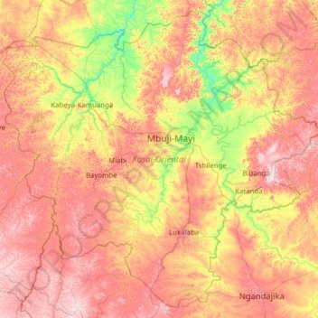
Name: Kasai-Oriental topographic map, elevation, terrain.
Location: Kasai-Oriental, Democratic Republic of the Congo (-6.78177 22.93246 -5.63666 24.17584)
Average elevation: 2,208 ft
Minimum elevation: 1,463 ft
Maximum elevation: 3,077 ft