
Catherine Island topographic map
Interactive map
Click on the map to display elevation.
About this map
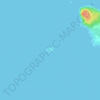
Name: Catherine Island topographic map, elevation, terrain.
Location: Catherine Island, Mauritius (-19.75055 63.32102 -19.74893 63.32358)
Average elevation: 3 ft
Minimum elevation: 0 ft
Maximum elevation: 167 ft