
Barrett topographic map
Interactive map
Click on the map to display elevation.
About this map
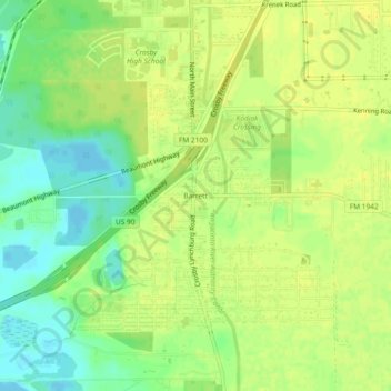
Name: Barrett topographic map, elevation, terrain.
Location: Barrett, Harris County, Texas, 77532, USA (29.85995 -95.08298 29.89995 -95.04298)
Average elevation: 43 ft
Minimum elevation: -10 ft
Maximum elevation: 62 ft