
Saint Marks topographic map
Interactive map
Click on the map to display elevation.
About this map
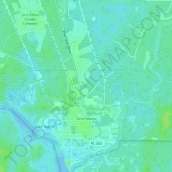
Name: Saint Marks topographic map, elevation, terrain.
Location: Saint Marks, Wakulla County, Florida, 32355, United States (30.15011 -84.22428 30.18582 -84.18898)
Average elevation: 13 ft
Minimum elevation: -10 ft
Maximum elevation: 36 ft