
Cameron Point topographic map
Interactive map
Click on the map to display elevation.
About this map
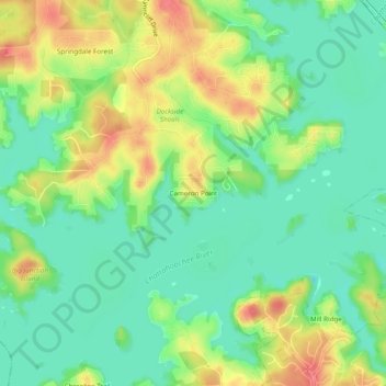
Name: Cameron Point topographic map, elevation, terrain.
Location: Cameron Point, Hall County, Georgia, 30506:30534, USA (34.28343 -83.92268 34.32343 -83.88268)
Average elevation: 1,112 ft
Minimum elevation: 1,027 ft
Maximum elevation: 1,243 ft